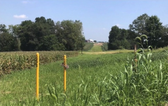
Pipelines are located in an easement or right-of-way (ROW). ROW’s can be located by looking for strips of land that are clear of vegetation, houses, buildings and other structures. You can also spot a ROW by looking for the presence of pipeline markers.
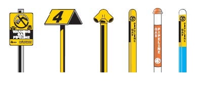
Pipeline markers vary in shape, color and size. The information on these vertical posts can appear on square, round or slanted signs or be applied directly onto (or wrapped around) the post.
Pipeline markers are meant only as a general guide and warning that a pipeline is nearby and should not be used to determine the exact location of an underground facility.
Pipeline markers contain information that is useful for general awareness as well as emergency planning including:
- The words “Warning”, “Caution” or “Danger”
- Pipeline operator name
- Pipeline operator emergency number
- Product being transported
Pipeline markers do not tell you:
- The exact location of the pipeline
- Pipeline depth
- Pipeline size
- Number of pipelines represented
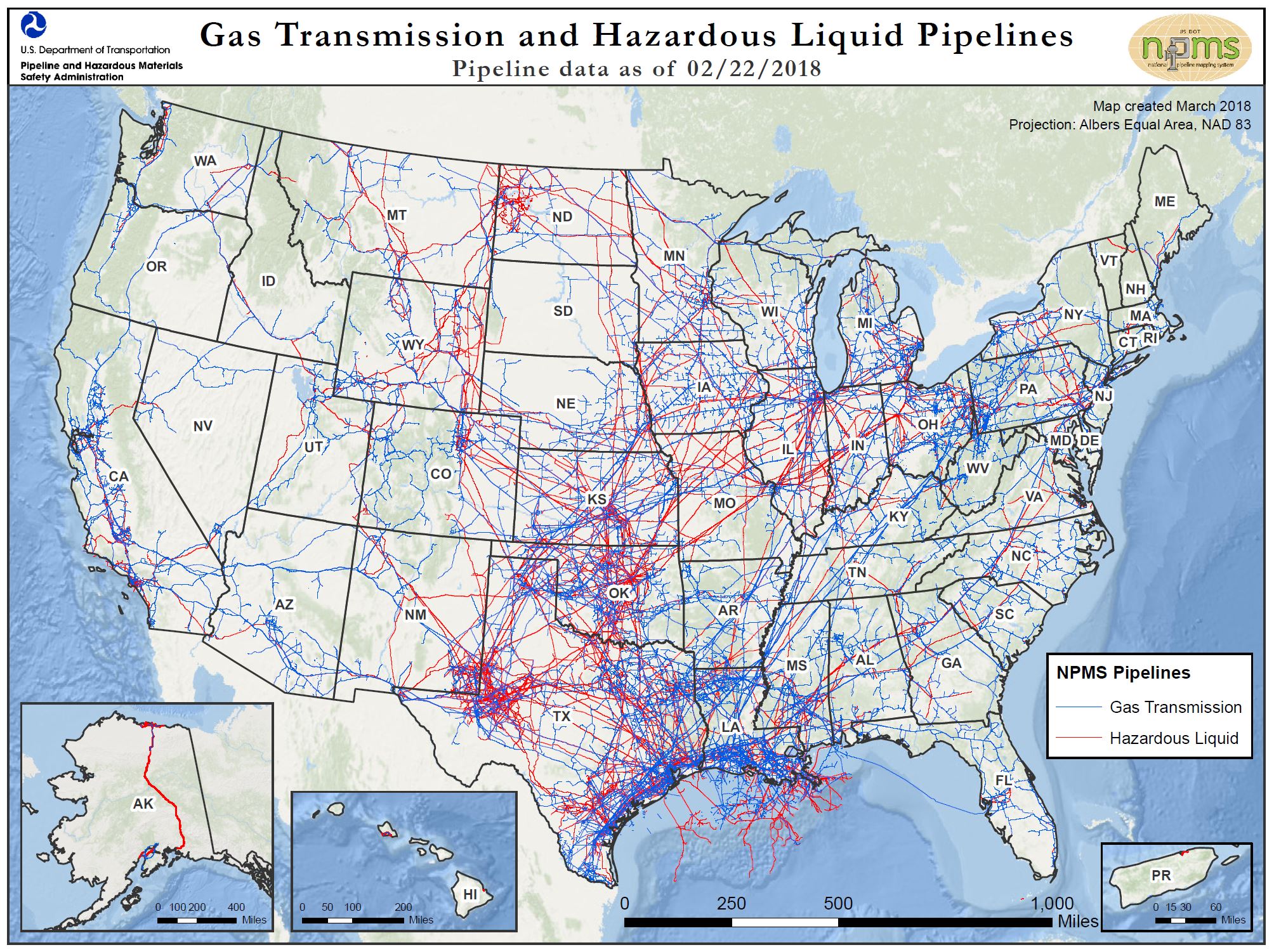
The majority of pipelines are buried underground and remain out of sight. However, pipelines can be seen emerging from the earth at terminals, pumping and compressor stations, or be seen crossing some waterways or bridges.
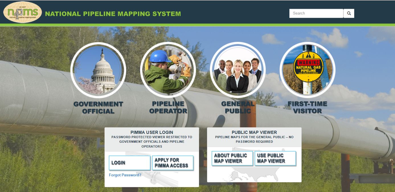
Visit the National Pipeline Mapping System’s “General Public” portal at www.npms.phmsa.dot.gov to find:
- A list of transmission pipeline operators in your county
- A map of nearby transmission pipelines